Gatun's Tides- The balance of water and transit
Interactive data visualisation/
map visualisation
map visualisation
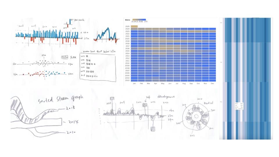
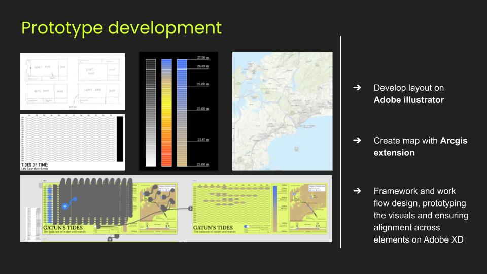
This data visualisation explores the fluctuating water levels of Lake Gatun, a crucial reservoir for the Panama Canal. Since the canal relies on sufficient water levels for ship transit, periods of drought or low water can lead to shipping restrictions, delays, or reduced cargo capacity.
The diagram features a heatmap that visualizes monthly water levels over time, with a gradient legend indicating key thresholds affecting shipping. An interactive toggle allows users to isolate periods when water levels fall below 25m, highlighting critical restrictions.
On the right side the map provides geographical context, showing Lake Gatun’s location within the Panama Canal and its key infrastructure. It helps users understand how fluctuating water levels impact different sections of the canal.


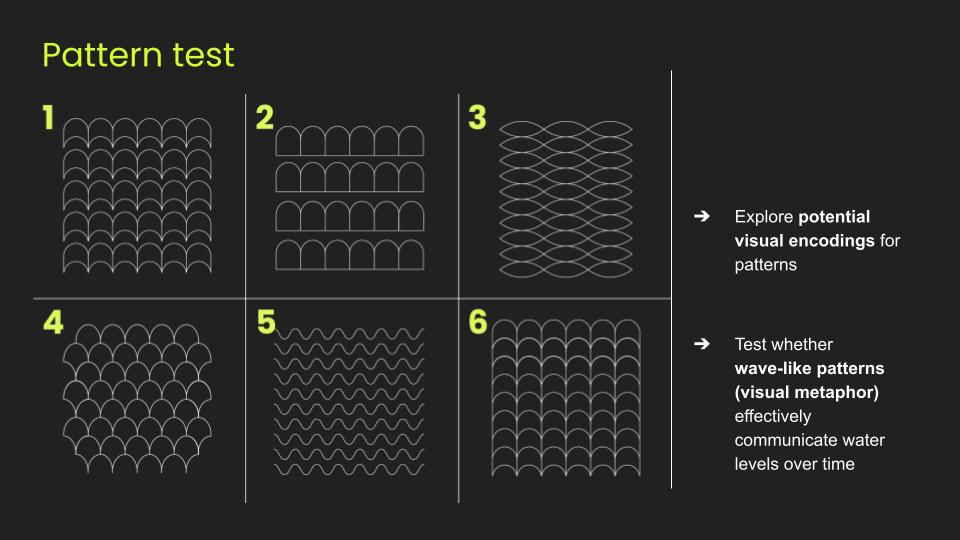
Process


More to explore: